Introducing Ullr GIS: map, maintain, and document anything on the mountain

Over the years, our resort clients have pushed the boundaries of what Ullr can do (and I love it when that happens). Mountains often get started with Ullr and then say something to me like: "this is great, can we also use Ullr for X?"
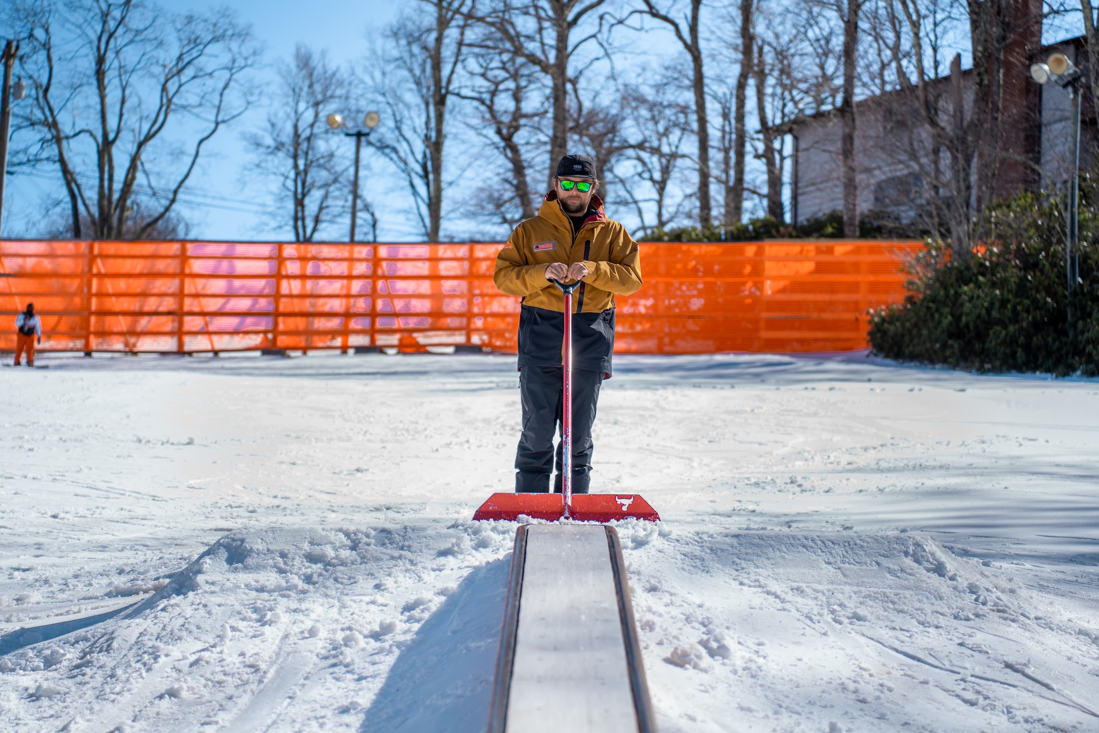
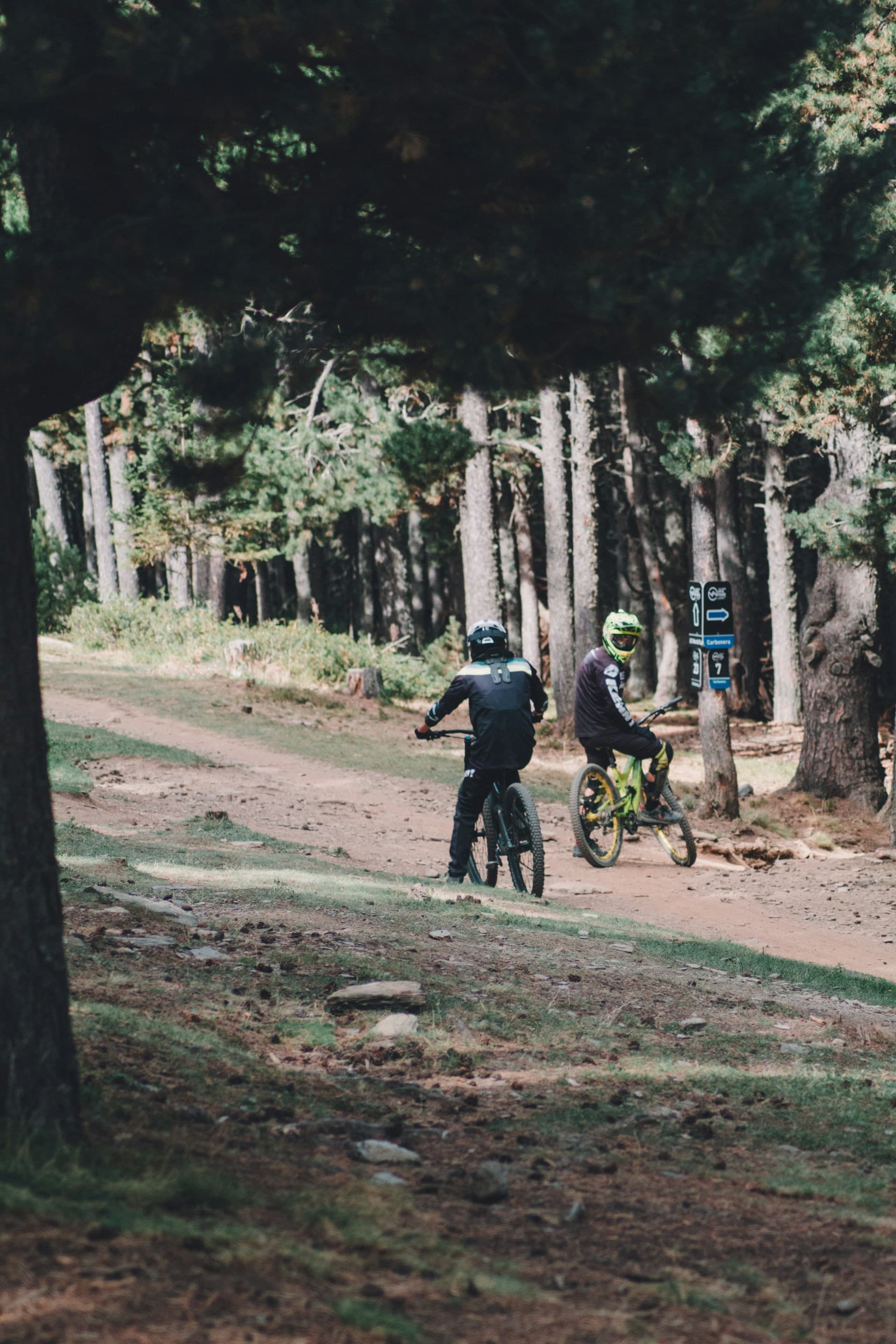
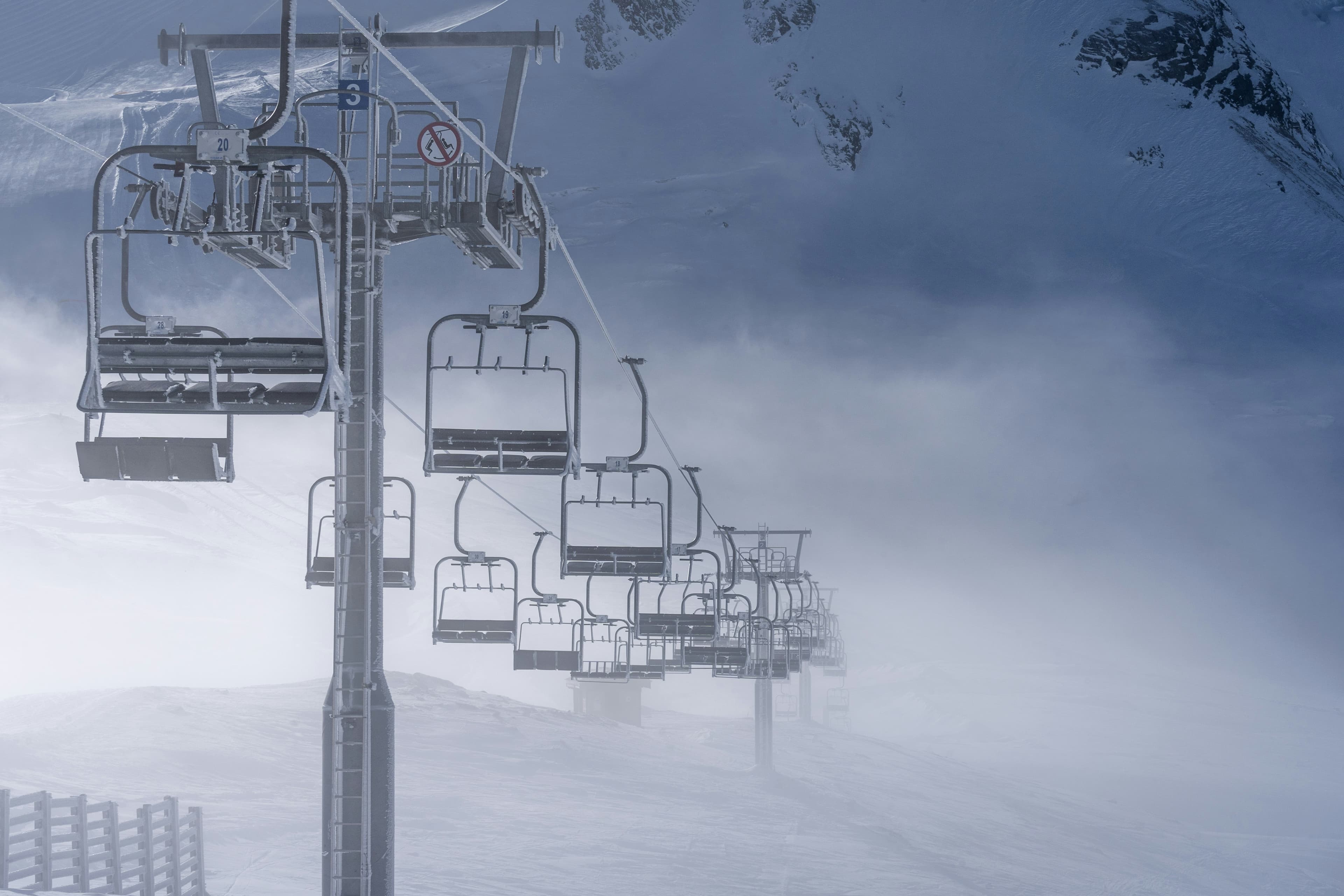
Ullr for "X" has always been really exciting. It's defined the progression of the software. Ullr for Parks expanded to Ullr for Bike Parks, which expanded to Ullr for Trails, and then to Ullr for Lifts. But the questions kept coming. Can patrol use this to check rope lines? Can we log inspections for our mountain coaster? What about snowmobiles? And salt logs?
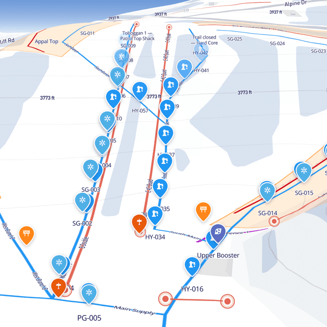
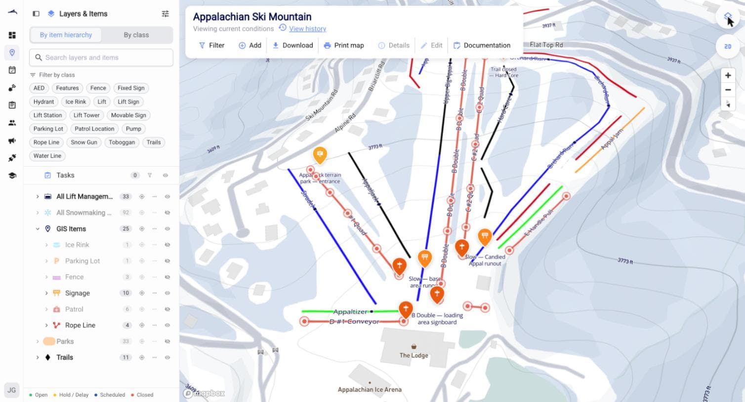
Ullr GIS takes everything we've learned building solutions for specific mountain departments and brings it to the whole mountain. It's GIS meets CMMS: geospatial asset mapping, work orders and maintenance management, and a searchable, exportable logbook attached to everything. It's customizable enough to fit a huge range of use cases, but specific enough to not feel like a bewildering blank slate.
I'm really excited about this one. It raises Ullr to a higher class of software tool.
So, can you?
Can patrol use this to check rope lines? Yes. AEDs, trauma packs, toboggans, fire safety gear, all of it gets a recurring inspection schedule, and every check is tied to a person and a timestamp. Rope and boundary lines get mapped the same way, checked on the same rounds patrol already runs.
Can we log inspections for our mountain coaster? Yes. Summer attractions, coasters, zip lines, climbing walls, and ropes courses get their own maintenance schedules and work orders, so nothing slips between seasons.
What about snowmobiles? Or slope lights, snowmaking infrastructure, water and air lines, electrical. Yes. If your crew is responsible for it, it can be an asset in Ullr, with a full service history attached.
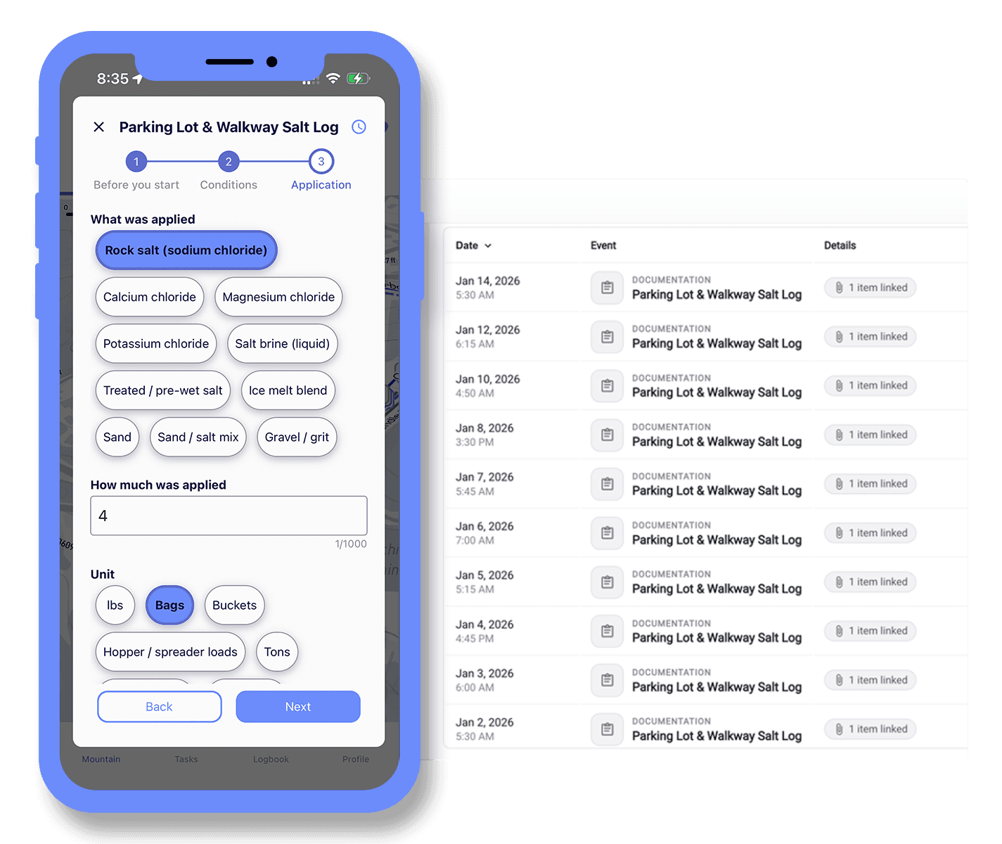
And salt logs? Yes. General premises claims are some of the most common a resort sees, and a timestamped, photo-backed log of where and when you salted a lot or walkway is exactly the record you want on hand when one of those claims shows up.
The pattern holds for anything else you throw at it: signage, fencing, guest amenities, hydrants. If it's on the mountain and someone's responsible for it, it can go on the map, with its own logbook and its own tasks.
One logbook behind all of it
Every asset keeps a running history. Every time it moves, every property change, every inspection, and every completed work order builds a record over time, timestamped and attributed to the person who logged it. No more ambiguous initials on a soggy clipboard that nobody can identify three years later.
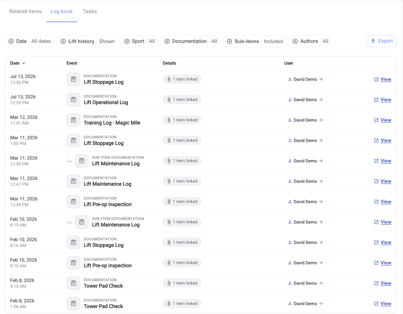
When an auditor, an insurer, or a new hire asks what happened, you can search it, filter it, and hand over a professional export in a couple of minutes. You can also travel back to any day or hour and see an asset, or the whole mountain, exactly as it existed at that moment.
Set up with you, not dropped on you
You don't start from a blank map. Our team works with you to build out the initial asset list and set up the inspection and maintenance schedules your crew actually needs.
If you're already running Ullr, GIS is the same map and the same logbook you know, opened up to everything else your crew looks after. And if you're new to Ullr, it's the fastest way to get your whole operation onto one system.
Let's talk about your mountain
If you’d like to talk about Ullr's new capabilities, please get in touch.
Or, grab some time on my calendar to Book a demo →
If you'd rather just look around first, there's more detail on the Ullr GIS & Asset Mapping page.